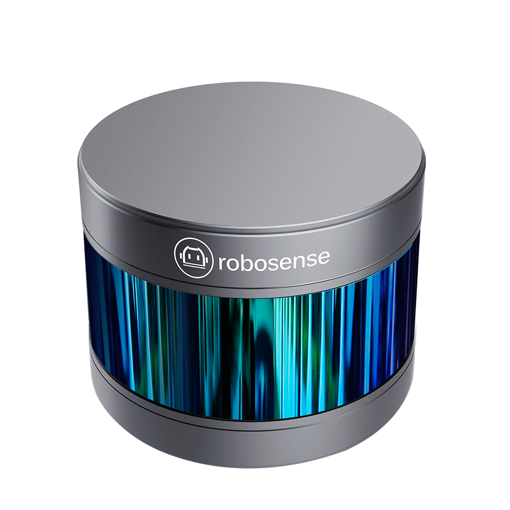


A world-leading 16-beam miniature LiDAR product and the first of its kind in China. It can be used in numerous applications, including autonomous driving.
Category:Lidar Sensor, Sensors
Brand:Robosense
RS-LiDAR-16, launched by RoboSense, is the first of its kind in China, world leading 16-beam miniature LiDAR product.
Its main applications are in autonomous driving, robots environment perception and UAV mapping.
The compact housing of RS-LiDAR-16 mounted with 16 laser/detector pairs rapidly spins and sends out high-frequency laser beams to continuously scan the Surrounding environment. Advanced digital signal processing and ranging algorithms calculate point cloud data and reflectivity of objects to enable machine to ‘see’ the world and providing reliable data for localization, navigation and obstacle avoidance.
Real-time positioning: the local environmental information scanned in real time is continuously matched with the high-precision map, and the real-time positioning information of the vehicle is obtained.
Obstacle recognition: it greatly improves the accuracy of vehicle to obstacle recognition.
2. robot environment perception
Rs-lidar -16 has high precision and good directivity, and can fully realize real-time positioning and navigation of mobile robots in indoor and outdoor environments.
Environment mapping: relying on rs-lidar-16 and its sensor information processing technology, the robot can immediately see the accurate topography and environmental images of its own position.
Real-time positioning: by using rs-lidar-16 to see environmental information and the known high-precision map for real-time comparison, the robot can know its exact position.
Obstacle recognition: rs-lidar -16 can reduce the leakage and false alarm of obstacles and keep the robot aware of the environment.
3. uav mapping
By applying rs-lidar-16 to conduct uav mapping, the surface DEM model and DOM image map can be obtained rapidly, which can be used as the application basis of engineering construction planning, urban planning, disaster detection, geographic information system, public management and other fields.